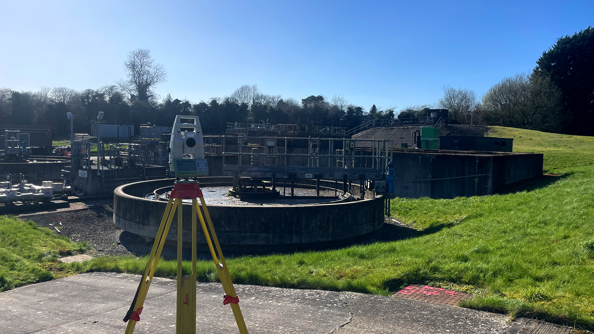
Water infrastructure operators face growing pressure to maintain ageing assets, ensure regulatory compliance and manage risk – often across sites that are hazardous or difficult to access. TEXO provides safe survey and inspection services that deliver clarity, confidence and repeatable insight.

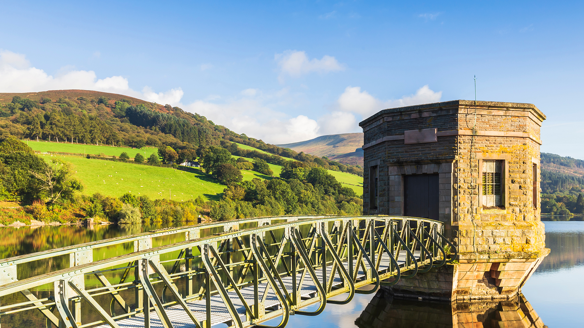
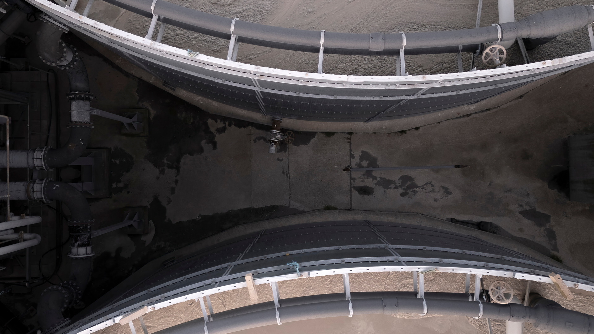
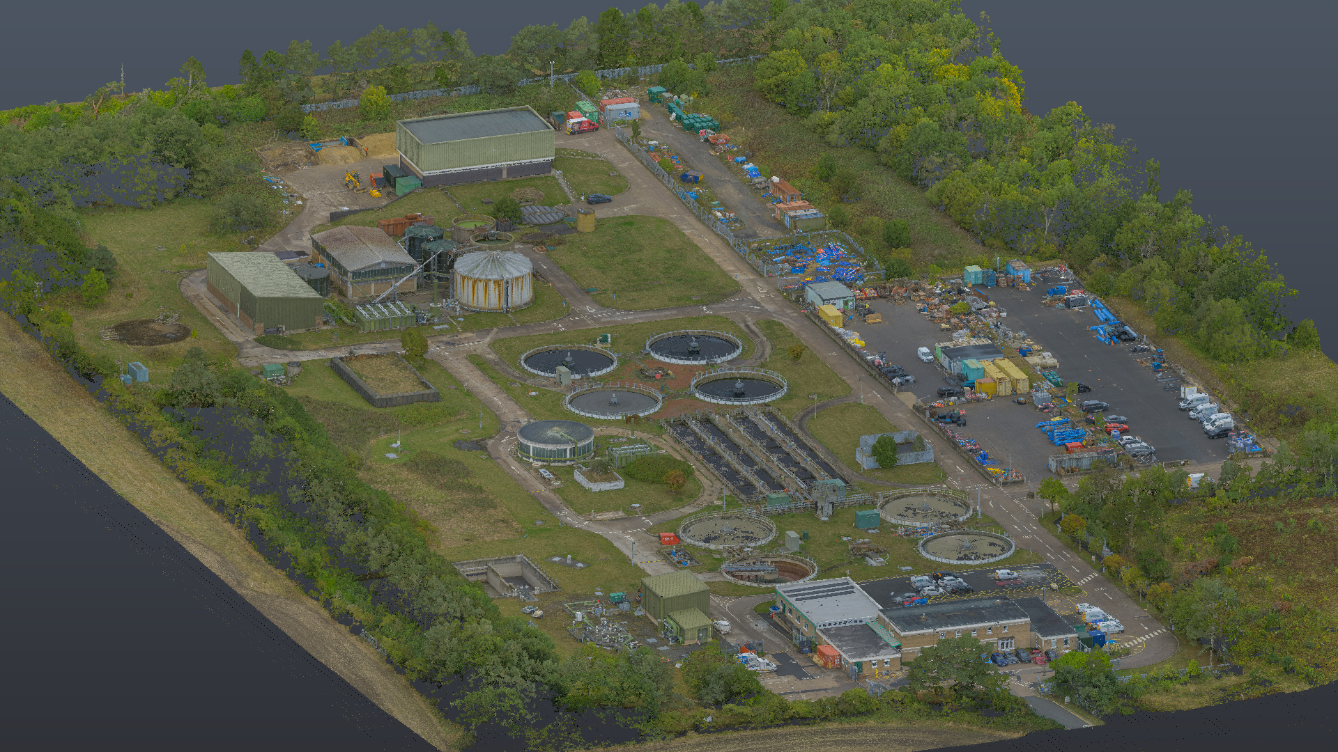
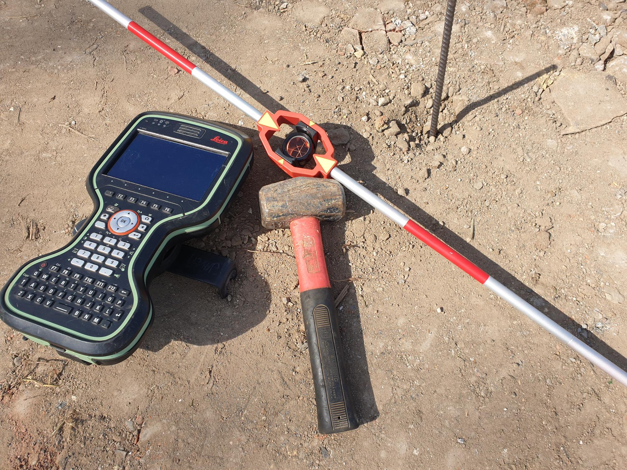
TEXO integrates topographical survey, PAS128 utility detection, inspection and advanced data capture techniques to deliver a fully coordinated view of your site. We work across treatment works, reservoirs, dams, spillways, pipelines and coastal outfalls, combining UAVs, ROV’s, GPR, EM, confined-space robotics and specialist inspection techniques.

Understanding both surface and subsurface infrastructure is critical in water environments, where unknown or poorly recorded utilities can introduce significant risk. We detect, inspect, verify and map assets improving confidence in asset records and reducing uncertainty during design and construction.

What We Deliver

  • Laser scanning and digitisation of treatment works and structures
  • Topographical, corridor and utility surveys
  • Inspection and survey of dams, embankments and spillways
  • Confined space inspection or survey of tanks, culverts and chambers
  • PAS-128-compliant utility and underground asset mapping

Why TEXO

  • Proven delivery across multi-year frameworks with leading Water and Sewerage companies
  • PAS128-compliant utility surveying fully integrated with inspection and topographical data
  • End-to-end survey, inspection and reporting — from capture to actionable insight
  • Engineering-grade outputs aligned with asset integrity, compliance and lifecycle management

Have a unique requirement?
Let’s find a solution together.

Not sure if any of our services fit your specific needs? At TEXO, we pride ourselves on our adaptability and
innovation. Even if your requirements don’t seem to match one of our listed solutions, we’re confident that we can
work with you to develop a tailored approach.

Case studies