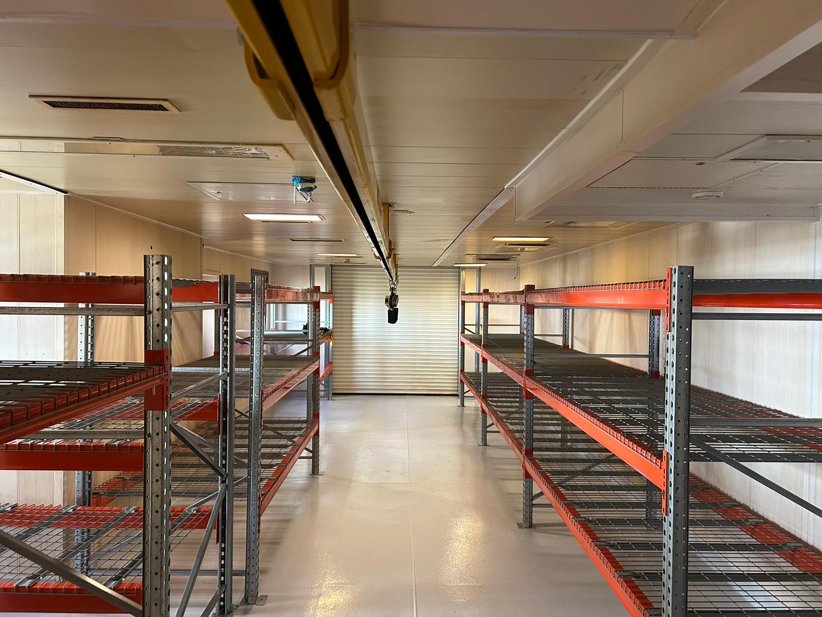
Accurate, timely survey data underpins every successful construction and infrastructure project. TEXO delivers reliable survey and inspection services that support designers, contractors and asset owners from early feasibility through construction, commissioning and handover.
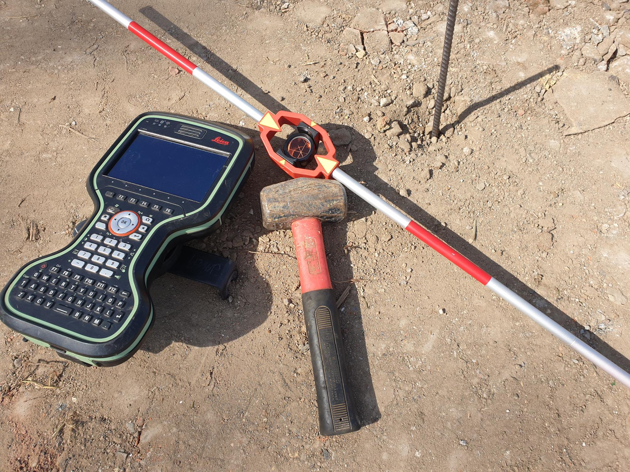
Working across bridges, tunnels, highways, rail corridors and major structures, we deploy UAV photogrammetry, LiDAR, laser scanning and traditional survey techniques to capture complex environments quickly and safely – even on live or constrained sites.
Our outputs integrate seamlessly with BIM and digital engineering workflows, providing consistent datasets that reduce rework, improve coordination and maintain programme certainty. By delivering repeatable, high-quality data throughout the project lifecycle, TEXO helps teams manage risk, maintain quality and keep projects moving.